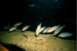
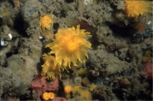
The marine database is held by DWT and contains biotope maps, species information and catalogues of photographs from Swanage to Portland Bill. This data is available for use by students, planners, consultants and the public.
Historically DERC have worked with C-Scope and the Dorset Wildlife Trust to collate marine information to inform the pilot Marine Spatial Plan for Dorset. Marine datasets from projects such as Dorset Seasearch, help to fill in the gaps in our knowledge of the subtidal environment specifically in areas where there may be Biodiversity Action Plan species or habitats.


Metadata Standards
Information about the data we hold is called metadata and it is by searching metadata that those interested in our database can see if we have the sort of information they want. To streamline the types of marine metadata held across the UK, the Marine Life Information Network (MarLIN) have created guidelines for data providers to follow when creating and cataloguing their data. Metadata from different providers can then be held in a database by MarLIN.
Marine Network
We have close links with:
Clients
Previous clients have included:
- Local Authorities
- Natural England
- National Marine Service (EA)
- Royal Haskoning
- Scott Wilson
- Bournemouth University
- Conservation Consultants Ltd
- New Forest District Council
- BMT Cordah Ltd.
Funding
The initiation and subsequent maintenance of the Dorset Marine Biodiversity Database would not have been possible without the support of:
- Dorset Wildlife Trust
- QinetiQ
- SCOPAC (Standing Conference on Problems Associated with the Coastline)
- Dorset County Council
- Natural England
- Environment Agency
- Viridor Credits
To whom we are grateful.