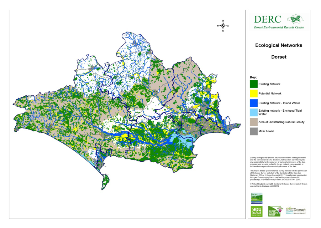
The ecological networks mapping project sought to collate information on existing sites, such as nature reserves and SSSIs and look for the links between them. These corridors and stepping stones ae important both as buffers, helping to protect our most wildlife rich areas, and as links, allowing the natural dispersal of species. DERC used data from previous surveys, the Dorset AONB, Dorset Wildlife Trust and the Local Authorities, to map areas within the current network and sites with potential to help expand the network.
The work was supported by the Dorset Local Nature Partnership and you can find out more about the project, see the district maps and find the guidance document, by clicking here.
You can also view the networks in your area by visiting Dorset Explorer and looking for the ecological networks layers under Environmental Records in the Layer Controls.
