Providing sites, species and habitat data for planning

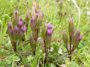
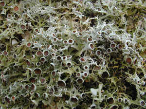
©Bryan Edwards
Since 2006 Dorset Environmental Records Centre has provided biodiversity information to the Local Authority Planning Departments, Statutory Agencies and conservation organisations as GIS data. This includes mapped boundaries for sites including Sites of Nature Conservation Interest, Local Nature Reserves, Regionally Important Geological Sites and Conservation Verges. These boundaries can be uploaded onto Geographical Information Systems and used within the Local Authority Planning Departments. Since April 2006 a new wildlife species layer has become available which includes records for protected, BAP, rare and threatened species.
The wildlife layer is available to all LAPD under an annual agreement. The charges made for providing access to the information go towards maintaining and updating the sites and species layers.
Why do planners need information on Dorset’s biodiversity?
Protected Species have specific protective legislation including EC Directive 92/43/EEC, which is enforced in the UK by the Conservation (Natural Habitats, &c.) Regulations (1994) (known as the Habitats Regulations), the Wildlife and Countryside Act (1981) and the Protection of Badgers Act (1992). The GIS layer highlights known sites for protected species.
BAP Species are those species with a written Biodiversity Action Plan and referred to in Section 74 of the Countryside and Rights of Way Act 2000 as species of principal importance. Planning Policy Statement 9 (2005) states that Local Authorities should take measures to protect the habitats of these species from further decline through policies in local development documents. These species and habitats can be a material consideration in the making of planning decisions. In order to promote and further the conservation of these species and habitats, planning officers need to know where they have been found within the county.
Rare and Threatened Species do not always have protective legislation. However, Dorset is home to many rare and declining plants and animals and if their sites or breeding grounds are known by planning officers it may be possible to limit the impact of development on these species.
Using the wildlife layers
The wildlife layers only show data that is held and has been processed by the Records Centre. It will never completely cover the distribution of protected species in Dorset but it is intended as a guide to assist the planning process. We hope to continue to develop and refine the wildlife layers and any feedback or comments from planning officers would be welcome.
Disclaimer.
The data is checked by volunteer verifiers and, where identified, erroneous records are not entered onto the database. Owing to the dynamic nature of information relating to wildlife and the environment DERC disclaims, to the extent permitted by law, any responsibility for the accuracy or comprehensiveness of the data provided, and accepts no liability for any indirect, consequential, or incidental damages or losses arising from use of the data.
For general enquiries about the DBIS contact DERC and ask for the Records Centre Manager.
For enquiries on using the GIS layers contact DERC and ask for the GIS Manager.
