Biodiversity Character Areas have been developed by DERC to sit alongside Landscape Character Areas. They describe the landscape type and land use, main semi-natural habitats present and highlight species, species assemblages and features of particular interest.

Click here for a list of Key Species (coming soon)
This BCA is characterized by hills of Corallian and Oolitic limestone with softer sands and clays on lower ground. The River Yeo bisects the area flowing east to west where it is joined from the south by the Wriggle River. Farmland dominates with a mixture of arable, cattle and sheep. Older buildings in Sherborne and many of the smaller villages have been built of the distinctive local honey-coloured limestone and there are several old quarries in the area including The Quarr Local Nature Reserve on the northern edge of Sherborne.
Semi-natural grassland is now rare and largely confined to the steepest slopes of the hills in the north. This is mainly calcareous in nature overlying the limestone with more neutral swards on the sands.
Ancient woodland is mainly found in a band from Stalbridge, south of Sherborne to Clifton Maybank in the west with Clifton Wood and Honeycombe Wood the largest sites. Many woods were managed as coppice-with-standards in the past but this type of management is now rare. The ancient deer-park east of Sherborne supports many veteran trees and is noted for its assemblages of deadwood (saproxylic) invertebrates and epiphytic lichens.
Sherborne Lake is the by far the largest water body. The River Yeo supports typical river birds such as Grey Wagtail and Kingfisher, with Dipper sometimes present during the winter.
The majority of the area is farmland with fields of varying shape and size, the larger and flatter used for arable with cattle and sheep. The majority of the field have hedgerows, many are old with a good range of trees and shrubs. Around Nether Compton, Sandford Orcas and Sherborne there are a number of doubles-hedged green lanes that support a mixture of woodland, scrub and grassland species and these are important ecological networks within the wider landscape. Locally quarrying and natural erosion have produced rock exposures that are recognised as Local Geological Sites and Sites of Special Scientific Interest.
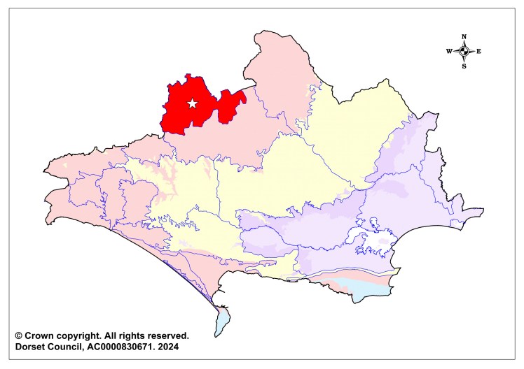
The Sherborne Hills & Vales BCA falls within the Sherborne Hills & Vales Landscape Character Area (limestone hills, valley pasture) and covers 11,770 hectares.
Summary of Key Features
- Significant woodlands along the limestone ridge and at Clifton Maybank
- Remnants of once extensive limestone grassland on steep slopes north and west of Sherborne
- River Yeo and tributaries in the valley running west from Purse Caundle through Sherborne Lake joining with the River Wriggle at Bradford Abbas
- Hedged landscapes with a number double-hedged green lanes which act as important ecological corridors through the landscape.
- Veteran trees in and around Sherborne deer park
Issues:
- Loss and fragmentation of semi-natural grassland
- Conversion of semi-natural woodland to conifer plantation
- Enrichment of road verges with rank nutrient rich vegetation replacing semi-natural grassland vegetation
- Enrichment of watercourses
- Loss, and lack of replacement, of field trees
Species assemblages of importance within the BCA
- Plants of ancient woodland
- Fungi of old growth woodland
- Lichens of old growth woodland
- Lichens of mature and veteran wayside and pasture trees
- Saproxylic invertebrates associated with veteran trees and dead wood features
- Woodland birds
- Woodland bats
- Plants of ancient and unimproved grasslands
- Fungi of ancient and unimproved grasslands
- Butterflies and day-flying moths of grassland
- Invertebrates of fens, fen-meadows and basic flushes
- Plants of species-rich hedgerows & hedgebanks
- Invertebrates of species-rich hedgerows & hedgebanks
- Plants of old droves, green lanes & Holloways
